

Response time
< 24 h
First reply without unnecessary waiting
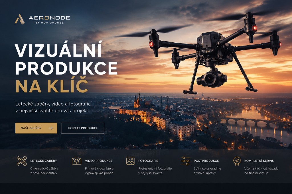
Drone surveying, LiDAR, GPR, and inspections for projects where every centimetre matters. Professional data and visualisation.
The video plays muted. Captions and full player controls are available when you open the video on YouTube.
Adaptive mode
We adjust persona and intent as you browse. Current: I want to see deliverables · services
Practical answers before you send an inquiry. Timing, scope and pricing are always confirmed for your specific job.
It depends on scope, terrain and processing. Simple acquisition may take days; larger deliveries with QA are usually phased. Our reply to your inquiry includes a timeline and milestones.
Typically point clouds, orthophotos, simple 3D assets, reports and CAD/GIS-friendly exports. We align formats and coordinate systems with your workflow.
With landowner/site manager access, field work is straightforward. Where authority/airport coordination is required, we plan it up front and reflect it in the schedule.
Enter the basics only. You can add details in the next step.
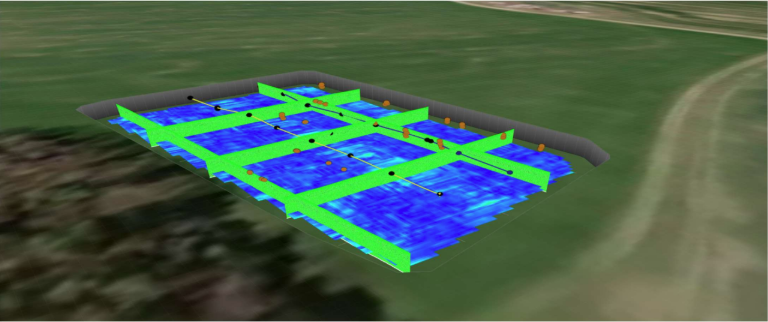
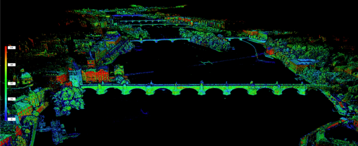
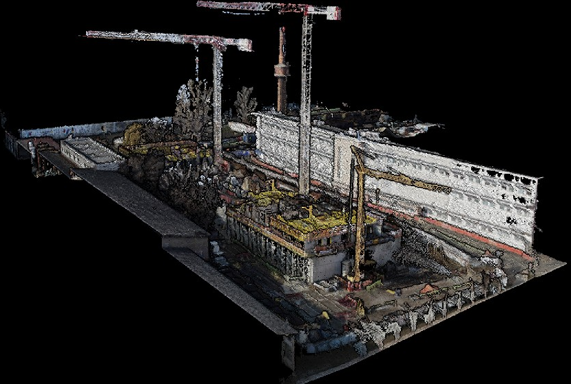
From subsurface survey to precision 3D models — pick the area that fits your project.
Response time
< 24 h
First reply without unnecessary waiting
Deliveries
250+
Inspections, mapping and specialised missions
Client segments
6 segments
Energy, construction, municipalities and more
SLA
99.5%
For critical data flows and output availability — per contract SLA
We clarify goals, location, timeline and required output formats.
Planned mission and field work with safety and data quality in focus.
Post-processing, QA, maps, models and reports.
Delivery, consultation and next steps or monitoring.